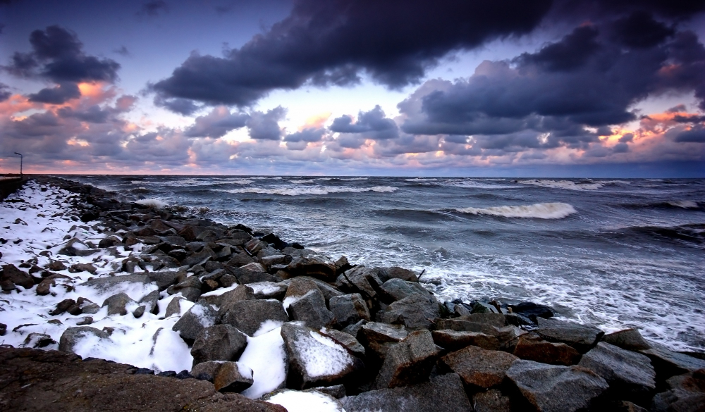
The Storm Jocelyn that is expected to strike Ireland by Tuesday afternoon may cause further damage to trees and power lines already weakened by Storm Isha, despite potentially being weaker than the previous storm.
“There will be trees that have been damaged that haven’t fallen, and this new storm might be the final push,” said Aoife Kealy, forecaster of state meteorological body Met Éireann.
⚠️Yellow Wind Warning⚠️
🌬️Very strong & gusty SW to W winds🌬️
⏲️Onset from 12:00 & 17:00 depending on your area
For more info on warnings, times & regions please visit⬇️https://t.co/w5QtJ1UyEP pic.twitter.com/2r7JioFUSY
— Met Éireann (@MetEireann) January 22, 2024
Kealy explained that a robust jet stream is directing storms toward Ireland and Britain, making the upcoming week unpredictable and windy. Meanwhile, forecaster Gerry Murphy highlighted that Storm Jocelyn will be a significant weather event on its own.
“Even a lesser event could be significant,” Murphy said.
The aftermath of Storm Isha has left thousands of homes without power, and the impact of Storm Jocelyn may hinder ESB Network’s efforts to restore electricity. By Monday afternoon, Northern Ireland Electricity (NIE) Networks indicated that approximately 17,000 customers impacted by Storm Isha remained without power, with 36,000 successfully reconnected.
Next low pressure system moving close to Ireland tomorrow evening with potential for yellow level winds in parts and possible Orange level near coast in West and Northwest. Heavy rain tomorrow morning also. pic.twitter.com/9bVny7AwjK
— Carlow Weather (@CarlowWeather) January 22, 2024
Although ESB Networks is actively deploying all available resources, including support from partner contractors, due to the severity of Storm Isha, the full restoration of electricity supplies may require several days.
The ESB Networks mentioned in a statement that due to the significant damage, some customers would experience power outages for several days. In addition, the restoration efforts might be hindered by the orange- and yellow-level winds expected with Storm Jocelyn on Tuesday.
This storm comes just a day after Storm Isha swept through the country, causing power outages, road closures, and multiple flight cancellations at Dublin Airport. At least 166 flights at Dublin Airport were cancelled on Sunday when Storm Isha hit. Furthermore, over 30 flights were cancelled on Monday as the airport dealt with the aftermath of the storm.
⚠️#StormJocelyn has been named by Met Éireann
A mature low pressure system will bring very strong southwest to west winds with severe & damaging gusts🌬️
Onset from Tuesday 18:00 23/01/2024
Keep updated here⬇️https://t.co/3041XHiRrK pic.twitter.com/knRMEGFgZi
— Met Éireann (@MetEireann) January 22, 2024
Striking various parts of country
According to Met Éireann, Storm Jocelyn will unleash severe and destructive gusts to various parts of the country.
“Storm Jocelyn will bring very strong southwest to west winds with severe and damaging gusts,” said Met Éireann chief Eoin Moran.
The forecaster has issued a gale warning, anticipating westerly winds to intensify to gale force eight or higher during the night along Irish coastal waters from Erris Head to Fair Head, including Howth Head and the Irish Sea, specifically the northern part of Anglesey.
It is also expected that southwesterly winds will strengthen to gale force eight or even reach strong gale force nine across all Irish coastal waters and the Irish Sea into Tuesday morning.
Rain tomorrow morning & showers later🌧️🌦️
Becoming stormy in the evening & at night in W & NW due to #StormJocelyn, breezy elsewhere⚠️🌬️🍃
Breezy & unsettled weather conditions at times for rest of the week with rain spells & sunshine too🍃🌦️☀️ pic.twitter.com/PjFzoTBj2w
— Met Éireann (@MetEireann) January 22, 2024
An orange wind warning has been declared for Donegal, in effect from 6 p.m. on Tuesday until 2 a.m. on Wednesday. The orange warning is issued for wind speeds with the potential to create hazardous and turbulent conditions that could threaten both life and property. Galway and Mayo will also be under an orange wind warning from 6 p.m. on Tuesday until midnight on Wednesday.
Meanwhile, a yellow wind alert covers Donegal, Leitrim, and Sligo from noon on Tuesday until 5 a.m. on Wednesday. A yellow weather alert warns of unusual weather but isn’t an immediate threat to the general public.
Another yellow wind warning encompasses Clare, Kerry, Galway, and Mayo from noon on Tuesday until 2 a.m. on Wednesday. Further, a yellow wind warning extends to Leinster, Cavan, Monaghan, Cork, Limerick, Tipperary, Waterford, and Roscommon from 5 p.m. on Tuesday until 2 a.m. on Wednesday.


